Interactive Inspection
Drone Aerial Map vs. CAD Plan
Drag the slider to see how the same site looks as an aerial map from a drone and as a drawn CAD plan.
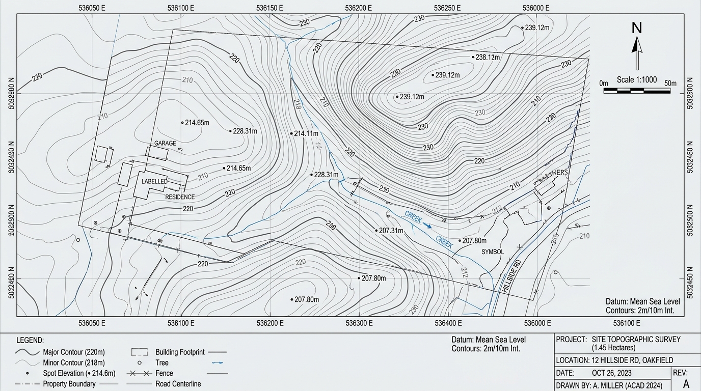
CAD Boundary & Level Plan
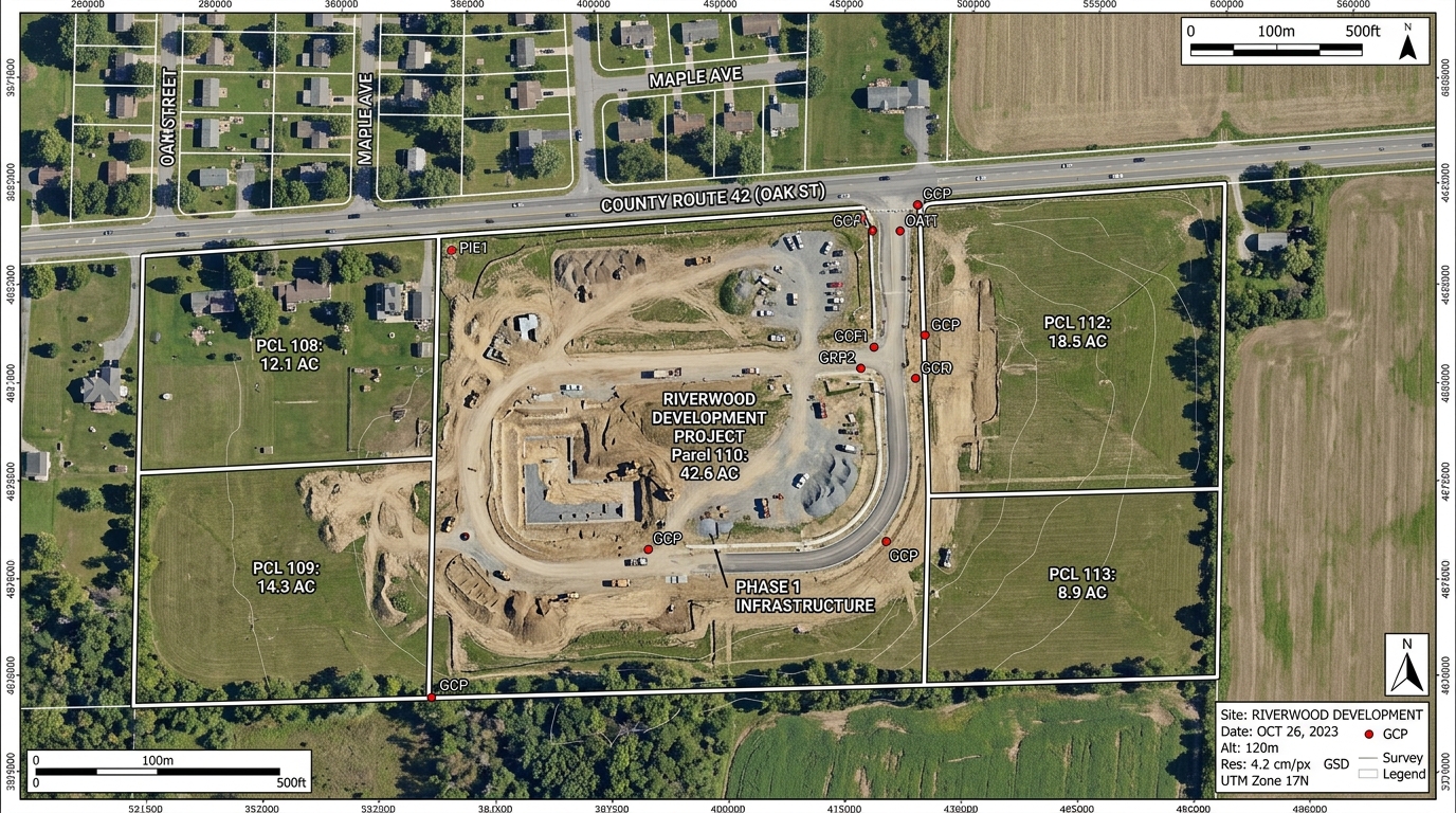
Drone Aerial Map
Sample maps and drawings from our survey work — showing what you can expect to receive as a final deliverable.
Confirm the required software compatibility and delivery format during project scoping.
Drag the slider to see how the same site looks as an aerial map from a drone and as a drawn CAD plan.
These are illustrative samples. We will confirm the final map, drawing, or report format for your project before starting.
Illustrative CAD / DWG output
Illustrative plan showing spot levels, contours, site features, and drainage information in an agreed drawing format.
Illustrative GeoTIFF / KML output
Illustrative aerial mapping output with agreed site features, annotations, and coordinate reference information.
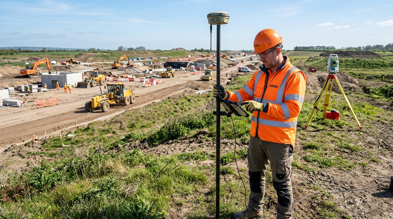 Illustrative field workflow
Example GPS field survey work on an open site, gathering site points to support the agreed mapping and drawing outputs.
Representative examples showing survey work, methods used, and the maps or drawings delivered to the client.
Scope: Demarcate 18-acre factory development site, verify perimeter against SIPCOT village records, and produce 0.5m interval contour model for earthwork grading.
Scope: 4.5 km linear corridor survey for road access alignment, cross-drainage culvert positions, and right-of-way (RoW) boundary pegging.
Scope: Complete topographical survey of 35-acre parcel with drone mapping, natural valley demarcations, and GIS shapefile attribute database creation.