Hosur, Tamil Nadu, India
GRID: WGS84 / UTM 43N • 12.7409° N, 77.8253° E

Who We Are & How We Work

NILAM SAT Geospatial is a land survey and mapping company based in Hosur, Tamil Nadu, providing GPS surveys, drone mapping, and clear drawings for homes, plots, factories, and construction projects.

Who We Are

Land Survey & Mapping Company

NILAM SAT Geospatial is a land surveying and spatial engineering practice based in Hosur, Tamil Nadu. We turn field observations into clear CAD plans, digital elevation models, and GIS datasets for project teams.

We plan each job carefully, use GPS or drones where needed, and agree the final drawings or maps with you before starting. All file formats and content are confirmed before work begins.

Survey Control Planning

We choose the right survey method for your site and the type of drawings or maps you need.

Clean CAD Structure

Layered, color-indexed DWG & DXF outputs ready for civil engineers.
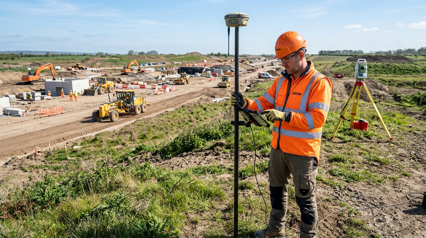
Field survey operations
FIELD OPERATIONS

Field Survey Operations

Hardware & Software Stack

Survey Technology & Digital Tools

Technology and deliverable formats are confirmed during project scoping to match the site requirement.

SATELLITE POSITIONING

Survey GPS Equipment

We use survey-grade GPS equipment to set site points and record accurate locations for mapping and engineering projects.

Surveying workflow
DRONE MAPPING

Survey-Grade Mapping Drones

Drone mapping is planned for suitable open sites that need aerial images, top-view maps, or ground level data.

Project-specific method
CAD PROCESSING

AutoCAD & Civil Drafting

CAD drawings can be organised with agreed layers, annotations, and coordinate references for project teams.

Digital deliverable option
GIS & SPATIAL DATA

GIS Mapping Software

We produce digital map files in formats that work with Google Earth, planning software, and GIS tools used by your project team.

Digital deliverable option
Coverage Corridor

Service Areas Across Tamil Nadu

Based in Hosur, we assess site availability and mobilisation requirements before confirming each project quotation.

Hosur Industrial Belt

SIPCOT Phase I & II, Mookandapalli, Zuzuvadi, Bagalur Road, and industrial manufacturing plots.

Krishnagiri District

Krishnagiri, Shoolagiri, Rayakottai, Pochampalli, and Highway infrastructure corridors.

Dharmapuri & Salem Corridor

Land parcel layouts, agro-forestry surveying, and civil road engineering projects.

Interstate Border Corridors

Attibele, Sarjapur border areas, and industrial park expansion sectors.

Discuss Your Site Survey Requirements

Contact NILAM SAT Geospatial to request site feasibility, equipment availability, and fixed-scope quotation.

View Contact Information